


Route 7 – The White Mountain, Mont-roig viewpoint
Distància:
Elevació:
Temps:
Dificultat:
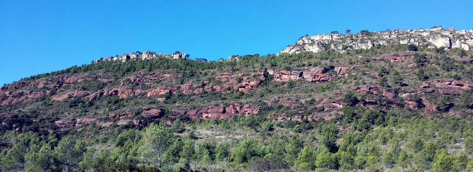
The Muntanya Blanca is the highest point in the municipality of Mont‐roig, it is a mountain range located as a buttress to its older sisters, the Serra de Llaberia and the Mola de Colldejou. At its highest point, the Molló dels Quatre Termes, the municipalities of Pratdip, Colldejou, Vilanova d’Escornalbou and Mont‐roig converge, and offers privileged views of Mont‐roig, the mountain of the Areny crowned by the Mare de Déu de la Roca and the Costa Daurada. From the summit you can also see the peaks of La Mola de Colldejou (922 m) and Miranda de Llaberia (918 m) where one of the 4 weather radars in Catalonia is located.
The White Mountain owes its name to the limestone rock, where the typical phenomenon of karstification occurs, that is, the dilution of the rock, which causes the appearance of numerous caves and chasms, such as the Pla chasm, near the Molló dels Quatre Termes, and about 31 meters deep.